
Hiking the Magnetic Rock Trail on the Gunflint Trail
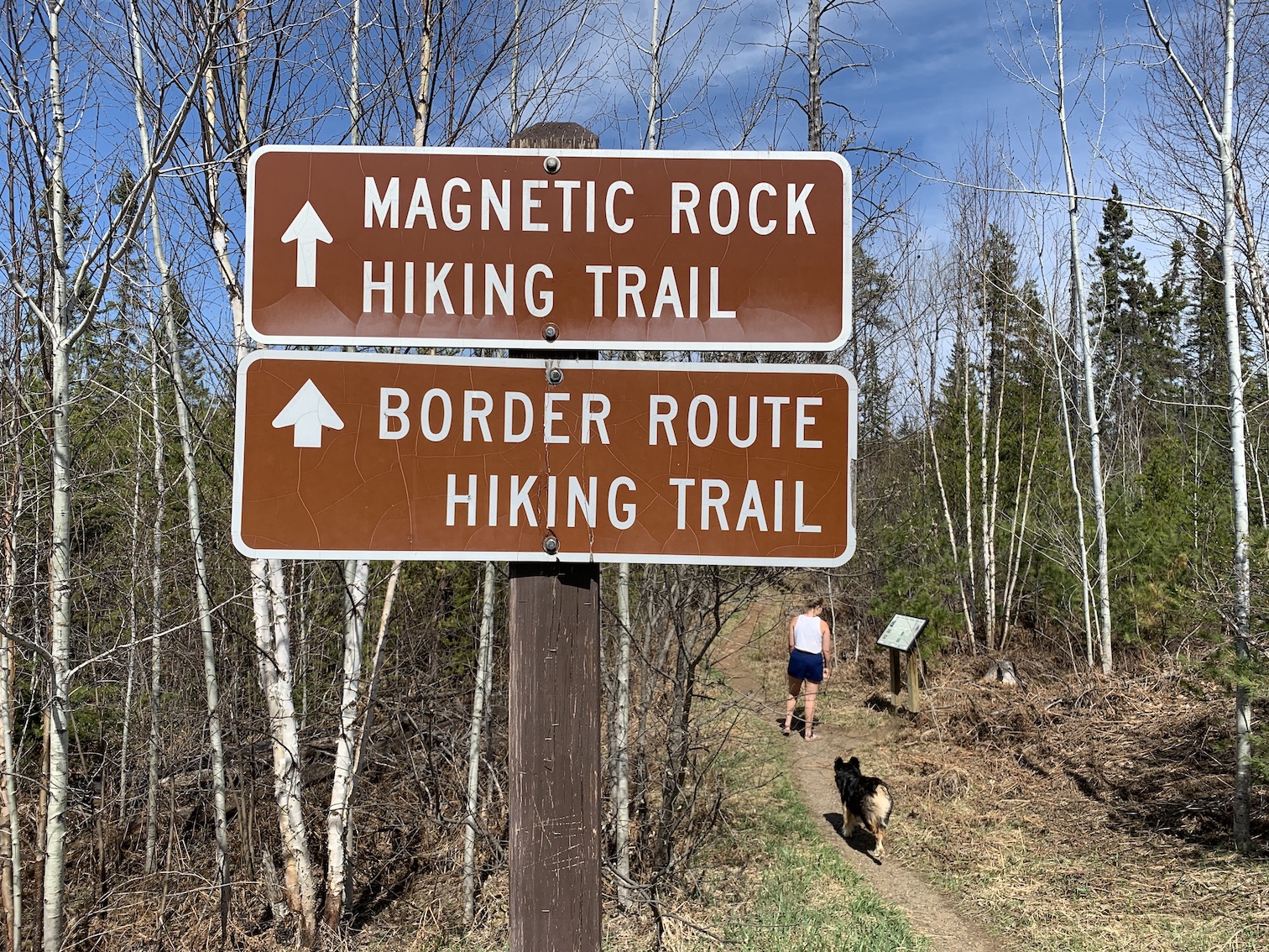 The Magnetic Rock Trail is probably the most well-known hiking trail on the Gunflint Trail. The well-marked trailhead is 48 miles from Grand Marais and the parking lot is directly off of the Gunflint Trail on the East side of the road. Other hiking trails on the Gunflint Trail require a few more directions to get to the trailhead so the Magnetic Rock Trail is an easy one to recommend and a relatively short and easy 3-mile round trip hike. It’s a quick 10 minute drive from Voyageur Canoe Outfitters and there’s a latrine and a picnic table located at the trailhead.
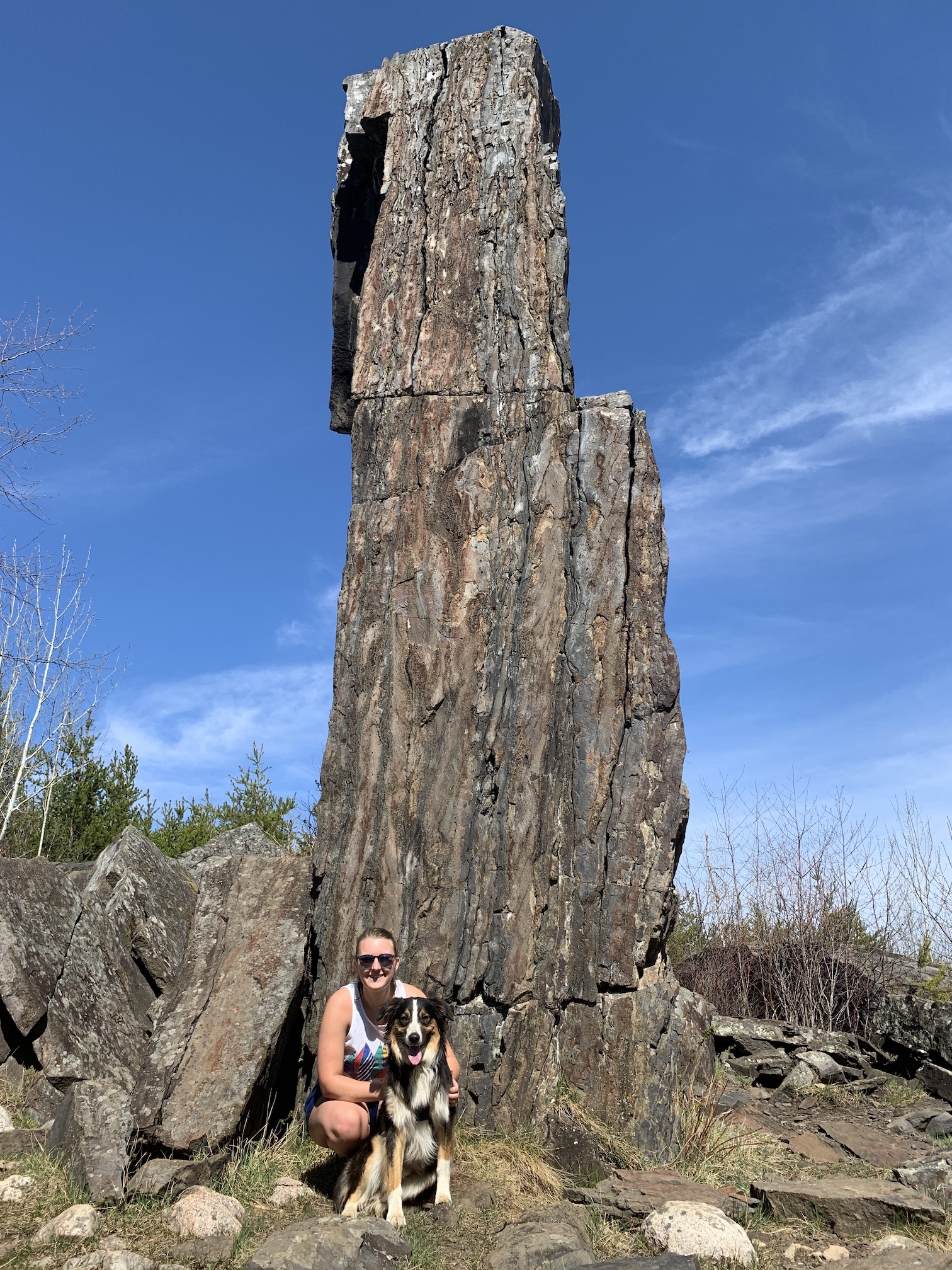
The Magnetic Rock Trail is famous for the 60-foot tall rock that makes your compass spin due to its magnetic properties. Magnetite is one of the dominant iron bearing minerals found in the bedrock of the Lake Superior Region and our local Gunflint Iron Formation. Due to the amount of magnetite in the area you might want to check your compass readings in a variety of locations if you ever find yourself lost in our woods. If you want to learn more about the geology of our area here’s a link to a 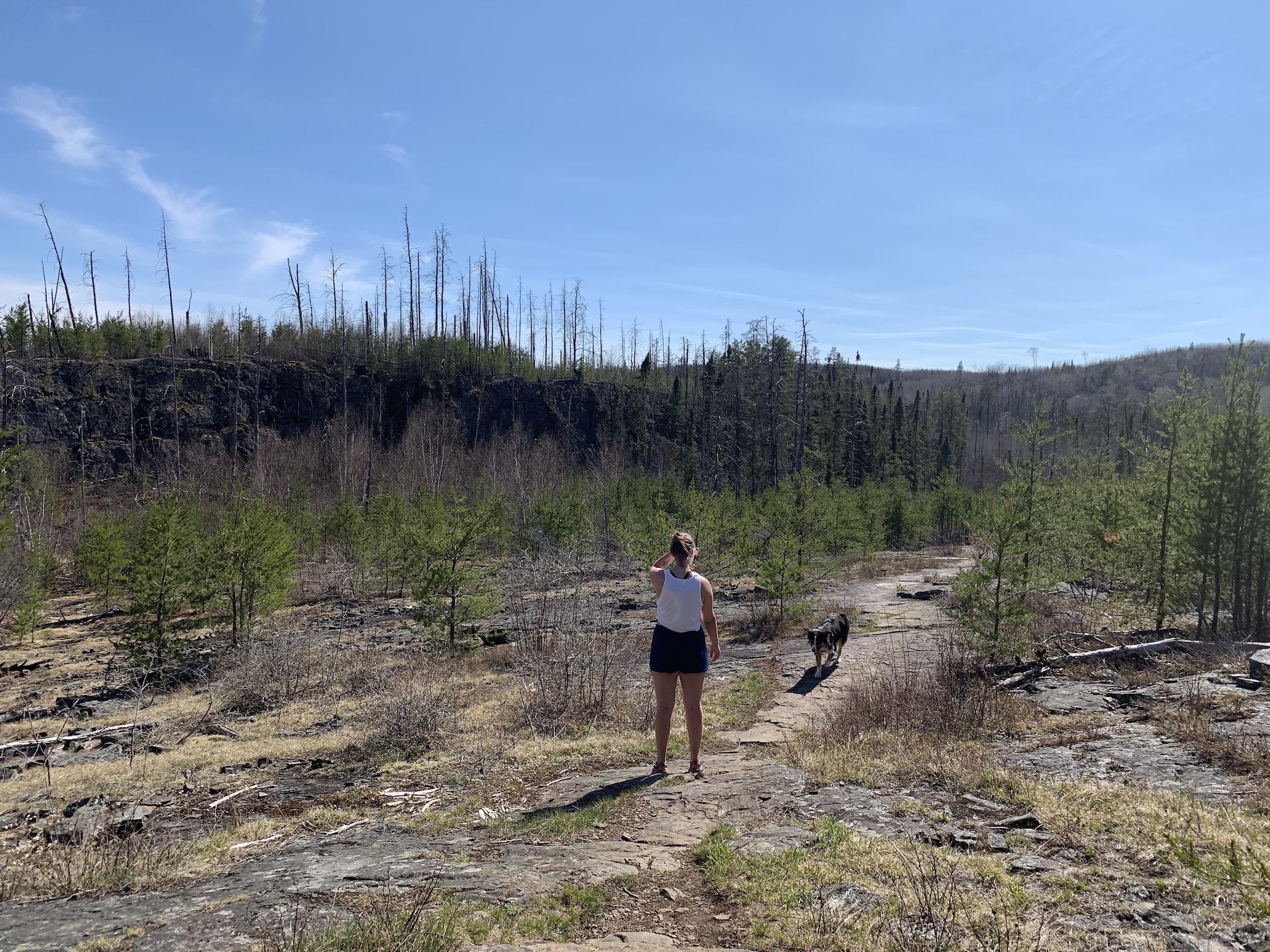 study you might find interesting.
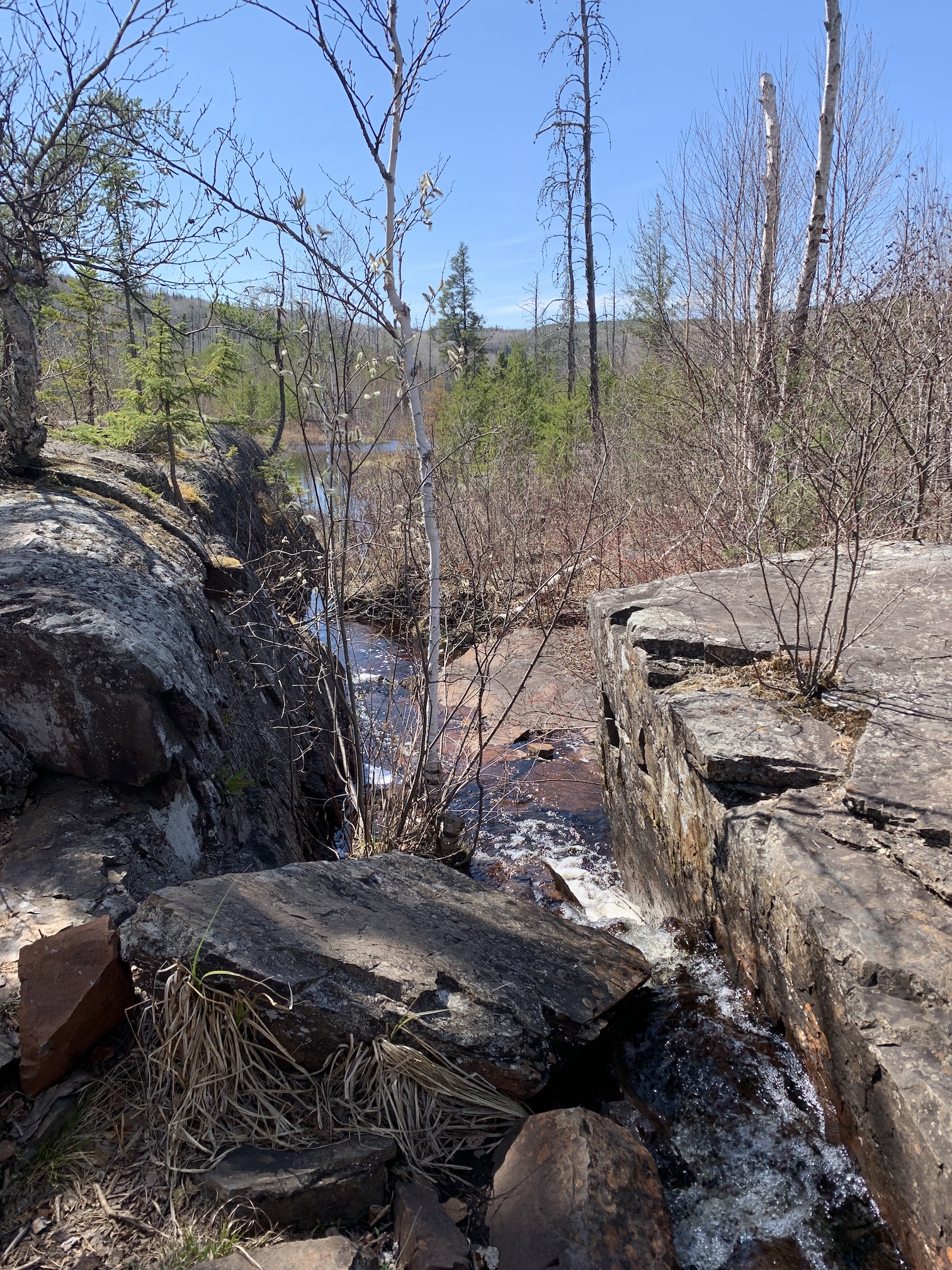
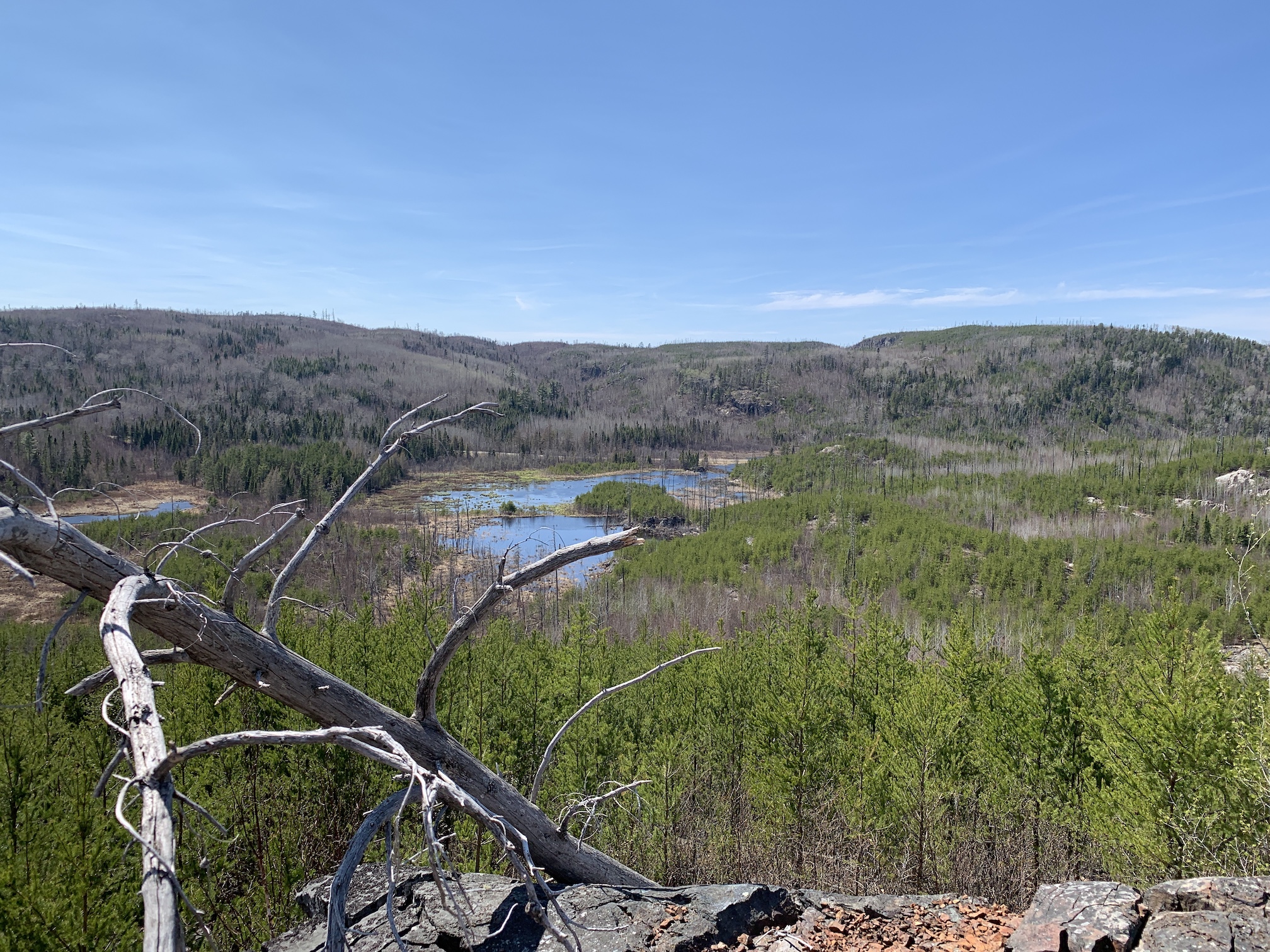
The Magnetic Rock Trail was burned during the 2007 Ham Lake Fire. The fire opened up views that had once been blocked by towering pines. The trail crosses Larch Creek, passes over exposed bedrock and offers great vistas from the top of rock ledges. Amazingly some of the views are once again becoming obstructed in places due to the thriving jack pines and birch trees that have shot up over the years. The blueberry picking along the trail has always been dependable which also might be why the Magnetic Rock Trail is so popular.
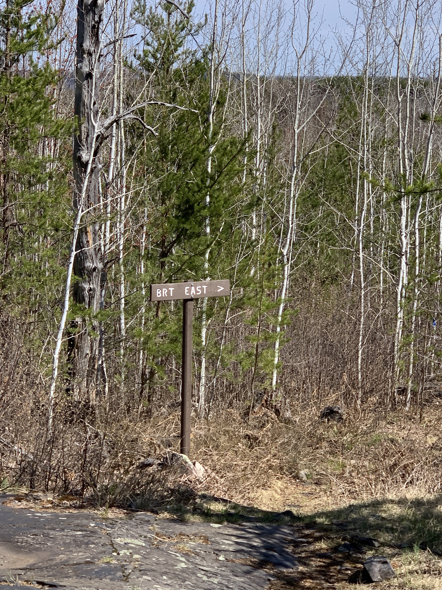
 The trail is part of the Border Route Trail and actually continues beyond the Magnetic Rock and follows the United States and Canadian Border for another 60 or so miles. Most folks turn around at the rock but you can make a great loop by following the Border Route for 1.73 miles out to a gravel road(Gunflint Narrows Road). When you reach the road you take a right onto the Gunflint Narrows Road and hike 1.15 miles out to the Gunflint Trail. At the Gunflint Trail you take a right and hike about 1.5 miles back to the trailhead of the Magnetic Rock Trail.
Leave a Reply
You must be logged in to post a comment.