
Gunflint Trail Hiking- South Lake Trail

It had been a number of years since I last hiked the South Lake Trail. As far as hiking trails on the Gunflint Trail the South Lake Trail is not that special. It doesn’t offer amazing views like the Caribou Rock Trail, Honeymoon Bluff or Blueberry Hill trails. It doesn’t have a neat geophysical feature like the Magnetic Rock Trail or a historical feature like the Centennial Rock Trail. There’s no old fire tower to see like the Lima Mountain Trail or Fire Tower Lookout.

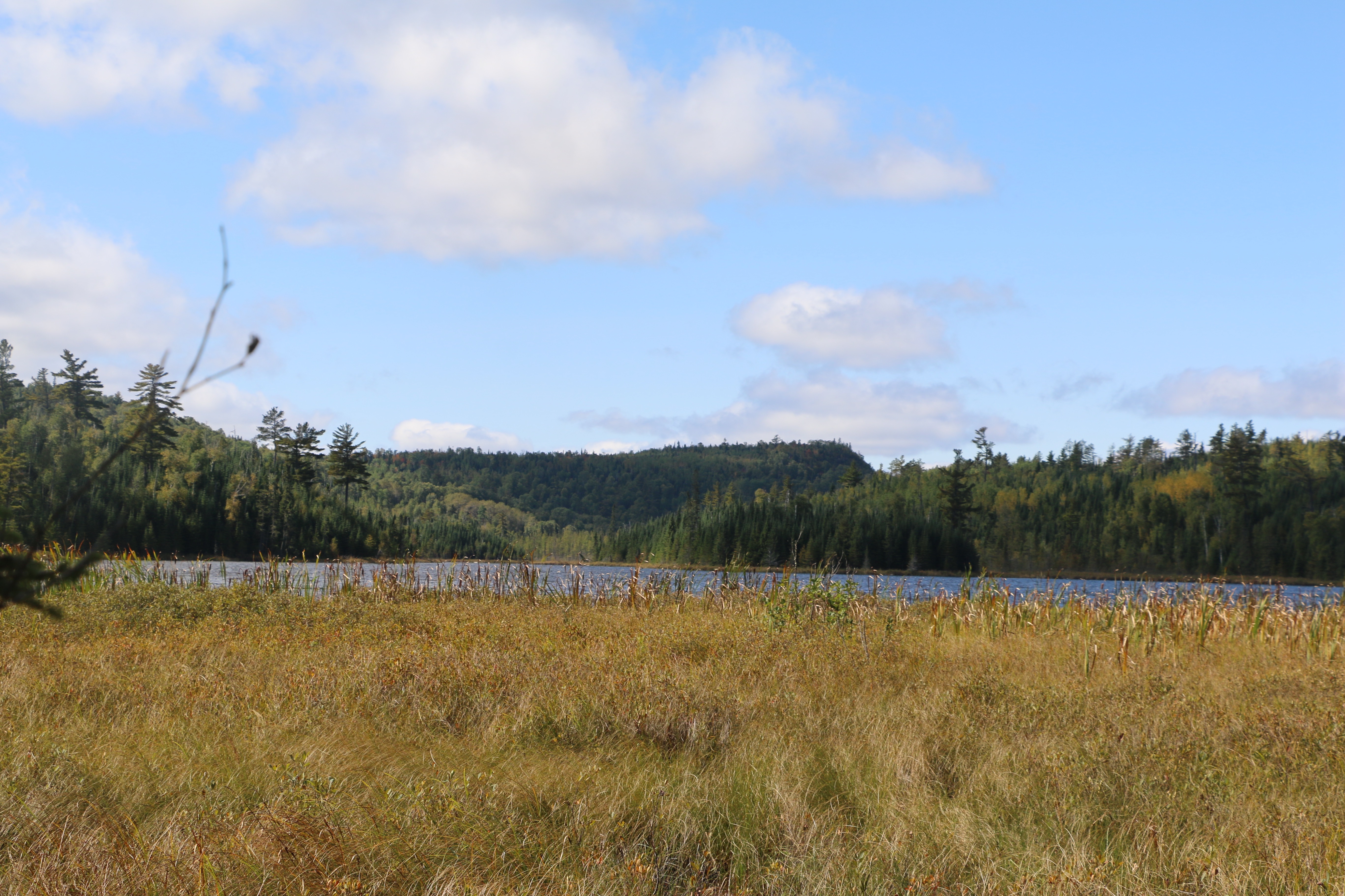
The South Lake Trail is a nice trail through the woods that meanders it’s way past lakes and through a diverse forest before ending at the shore of South Lake. It begins in the mid-trail area right off of the Gunflint Trail across the road from Rockwood Lodge. Some people use the trail to access the Border Route Trail while others use it to get to some remote fishing lakes. Since a portion of the trail is outside of the BWCA there can be instances of motorized travel but it is quite rare. The hiking trail crosses the snowmobile trail before you get to a boardwalk that takes you across a bog. About a mile from the Gunflint Trail you’ll encounter Birch Lake on the left side of the trail. You’ll then see a trail sign for Moss Lake to your right. You can take the short trail to see the lake or hike it out to the Hungry Jack Lake Road. Continuing on the trail for a little over a mile you’ll enter into the BWCA.
A travel permit for entry point 59 is needed for day use and overnight use of the South Lake Trail. For day use you just need to fill out a self-issuing permit but to spend the night you’ll need to reserve a permit. Partridge Lake has a campsite on it about one mile before the Border Route Trail. There isn’t very much room for a tent and the hiking trail separates the campsite from the latrine. You can fish from the campsite and people have caught lake trout from the shore.
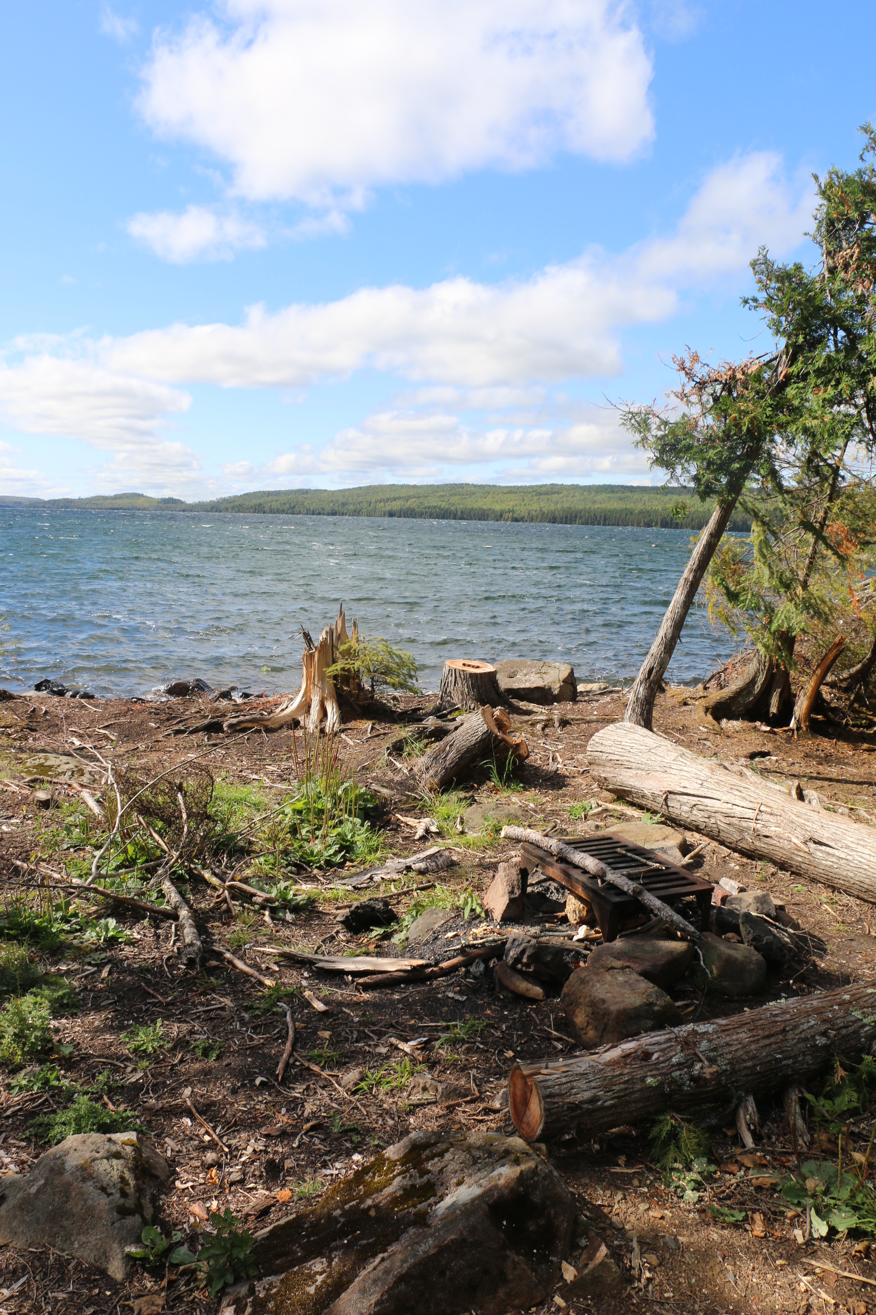
The trail intersects with the Border Route Trail and then it’s about 1/3 of a mile to the campsite on the shore of South Lake. Over this short distance the trail drops about 300 vertical feet from the ridge to the lake. The campsite was damaged in 2016 by a windstorm but it was cleaned up and ready to be used again as of August 2017.
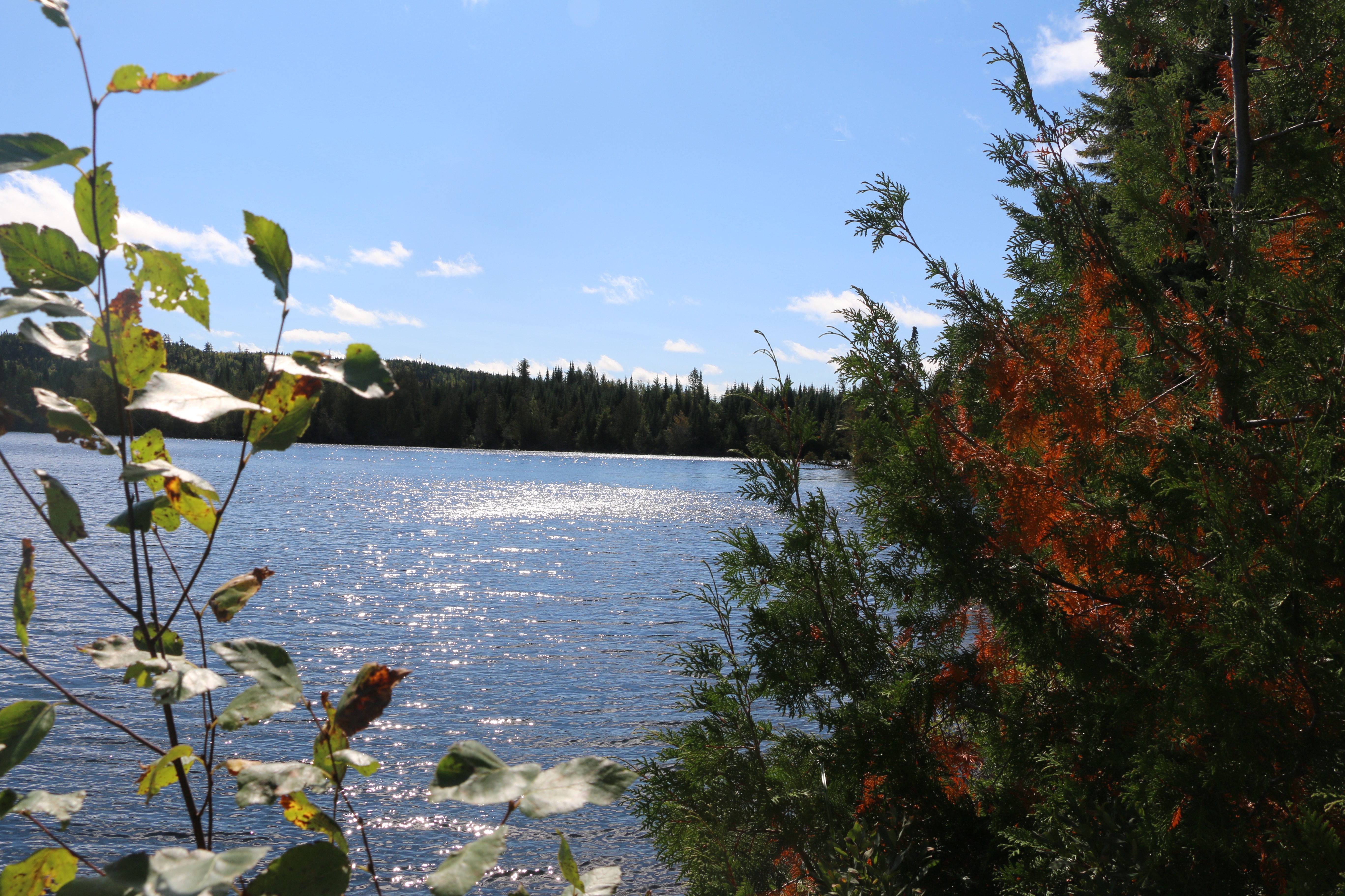
The South Lake Trail passes through alder, over creeks, past towering pine trees, through cedar stands and offers a great variety of plant life. The trail was well maintained by the Border Route Hiking Club volunteer crews. There were very few down trees but that can change with a heavy snow in the winter or a large wind. You can check out the website for updates on all trail sections of the Border Route.

While most websites and literature say the trail is 3.5 miles each way my GPS watch ended up with a solid 8 miles. I did do a little exploring but I didn’t think it certainly wasn’t a miles worth. The trail is rocky in places and has a few steep ascents and descents but I was able to make the round trip in 3 hours. A little slower than hikes on the wider, more traveled Superior Hiking Trail but still a good pace. I didn’t see another soul or have to deal with any bugs. It was great to get to hike the South Lake Trail and can’t wait to get back into the woods to take the Moss Lake Trail next.


Leave a Reply
You must be logged in to post a comment.