
Hiking and biking through the fall colors of Cook County
There are so many wonderful hiking and biking trails in Cook County and they only get more beautiful as the leaves begin to change colors. The more vibrant the colors become the more tourists arrive to enjoy them as well. If you’re looking for solitude on a hiking trail during peak color season you’re probably not going to find it but if you’re looking for stunningly gorgeous hills blanketed in yellow, red and orange colors against a backdrop of a bluebird sky and sparkling great lake then you won’t mind sharing the trails with troves of others enjoying the sights and scents of fall on the north shore of Lake Superior.
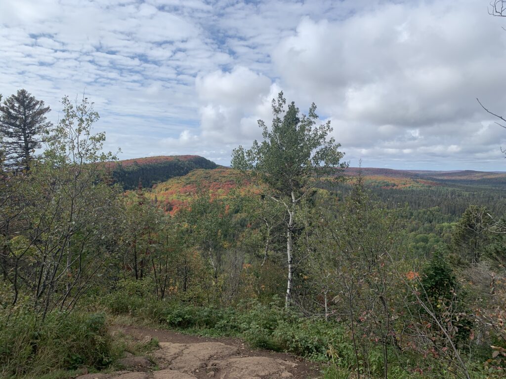
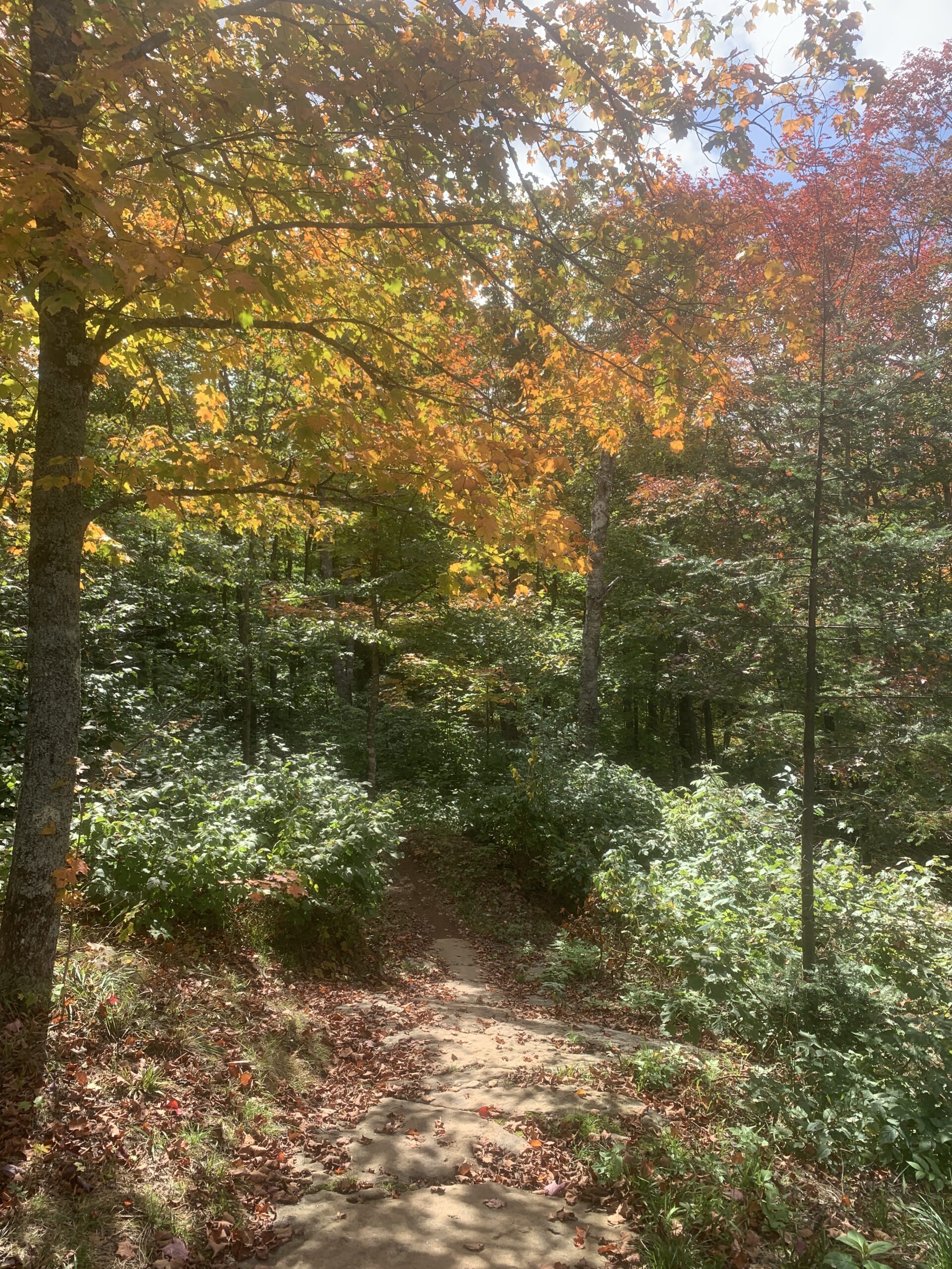
Fall is the best time for hiking because there are no bugs. I was able to get out a lot and found myself on the Onion River Road off of Highway 61 numerous times because it has access to both hiking and biking trails. The LeVeaux Mountain Trail is the less popular route accessed from the trailhead parking lot probably because it’s a little longer and less spectacular than the Oberg Mountain Trail. Oberg is a 2.3 mile loop trail through towering trees with gorgeous vistas and numerous overlooks to pause and enjoy the surroundings.
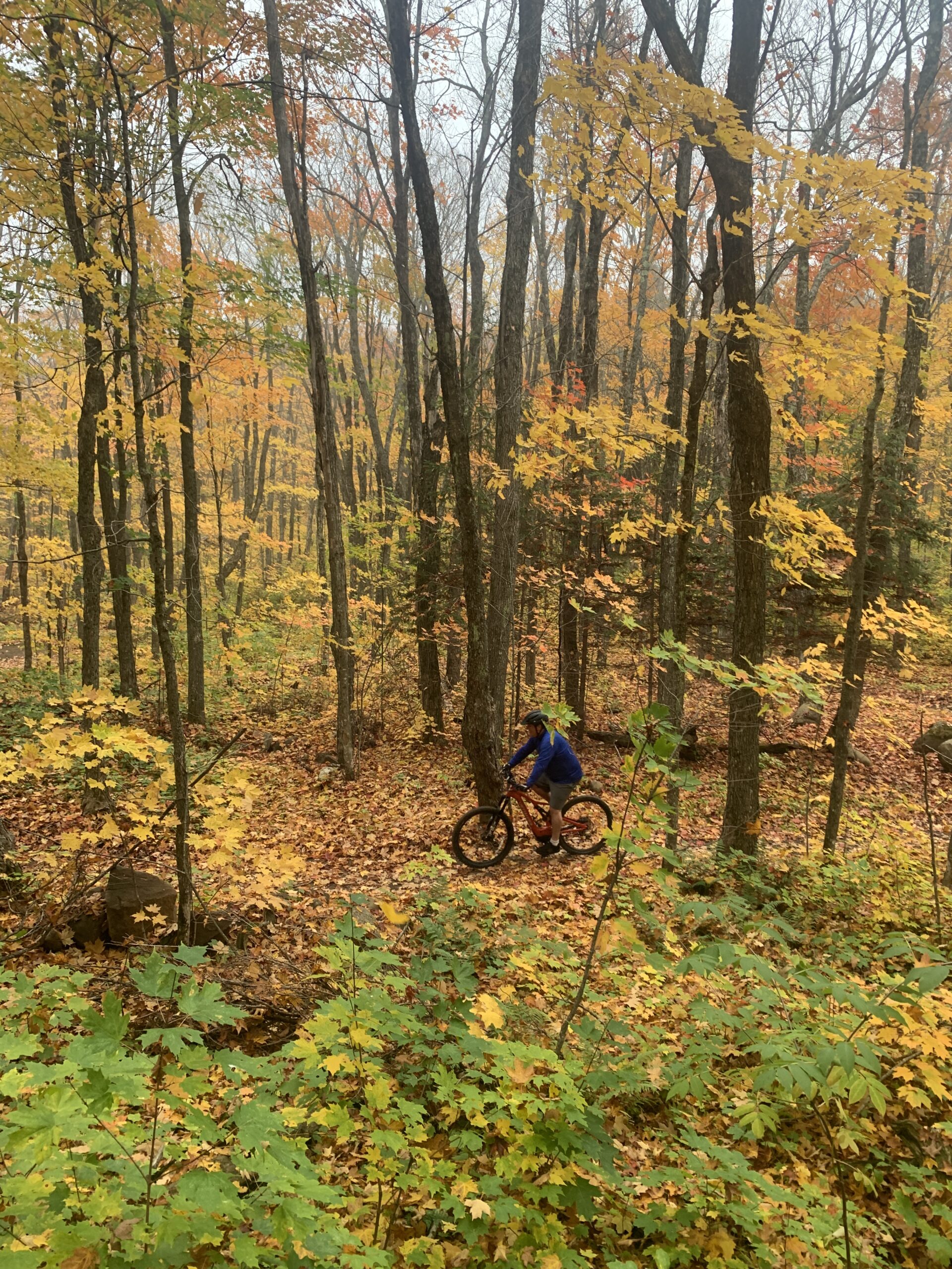
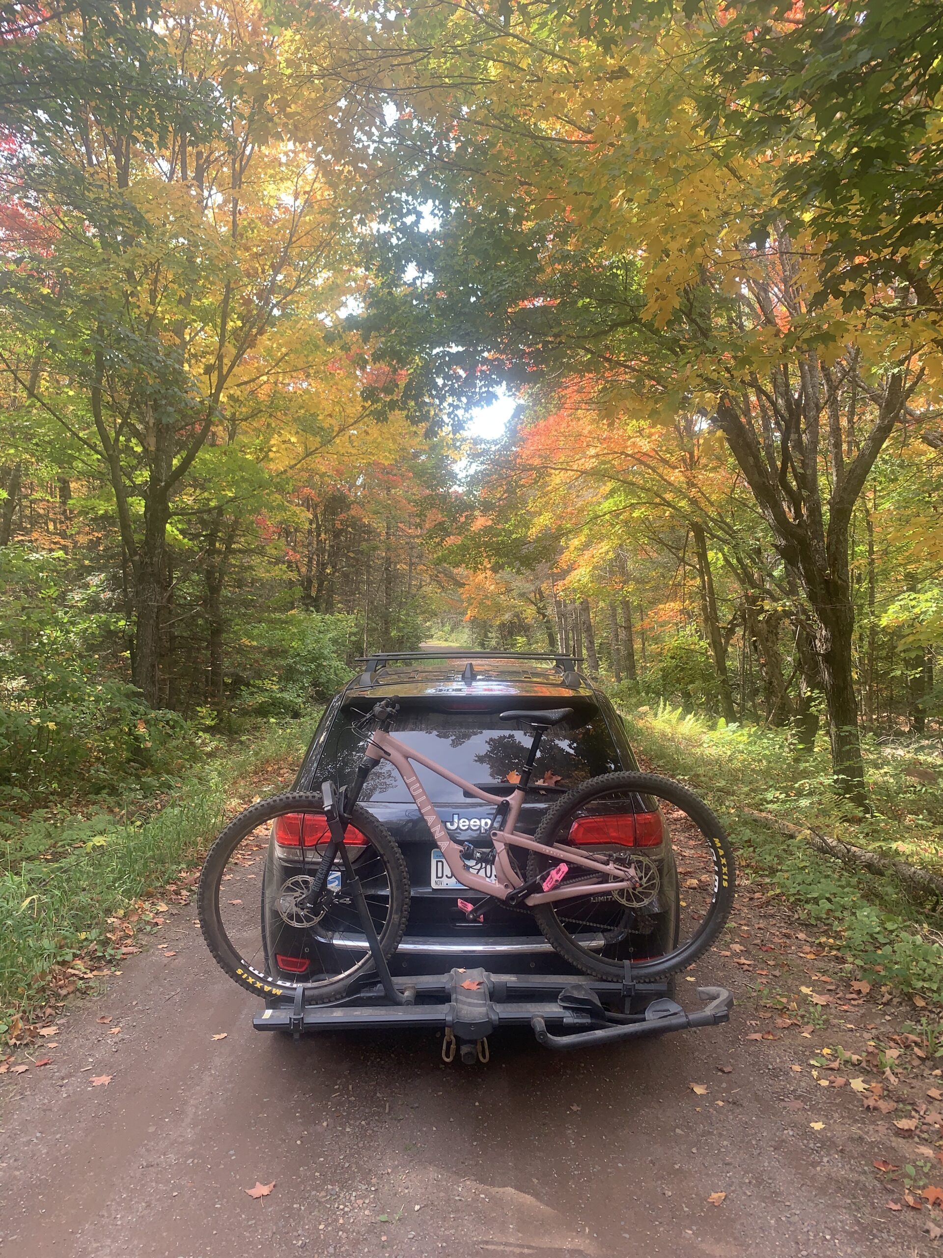
Biking through the fall colors is the way to enjoy solitude and fall colors. There are two single track mountain bike trails you can access from the Onion River Road, High Climber, a 5 mile trail that heads toward Lutsen Mountain and Jackpot, right around a 10 mile trail that leads to Britton Peak. They both offer heart pumping hills, leaf covered trails, canopies of color and scenic views.
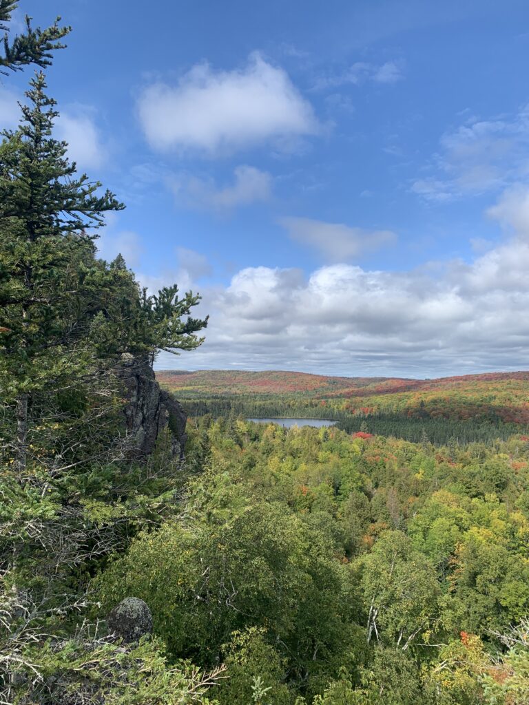
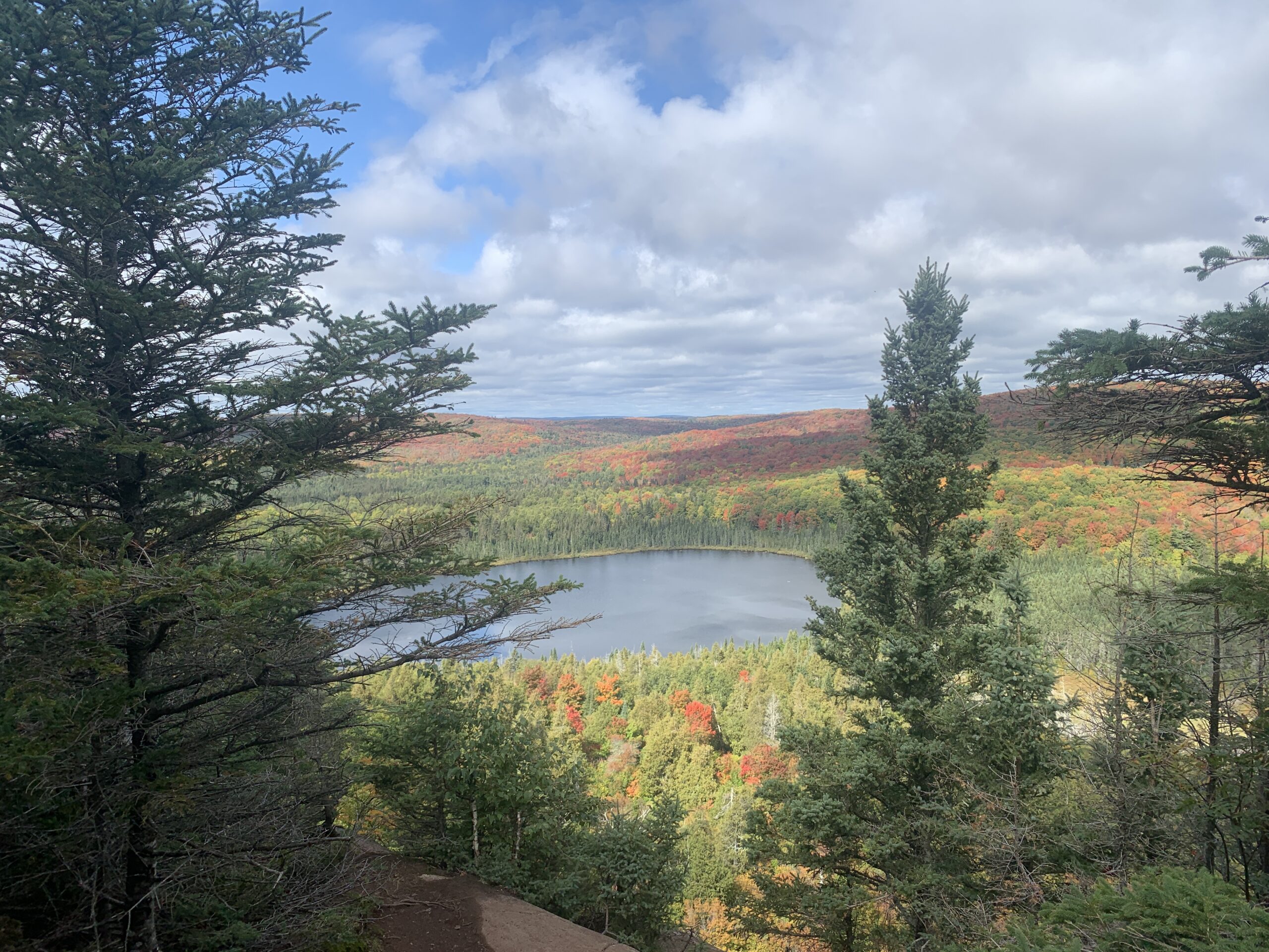
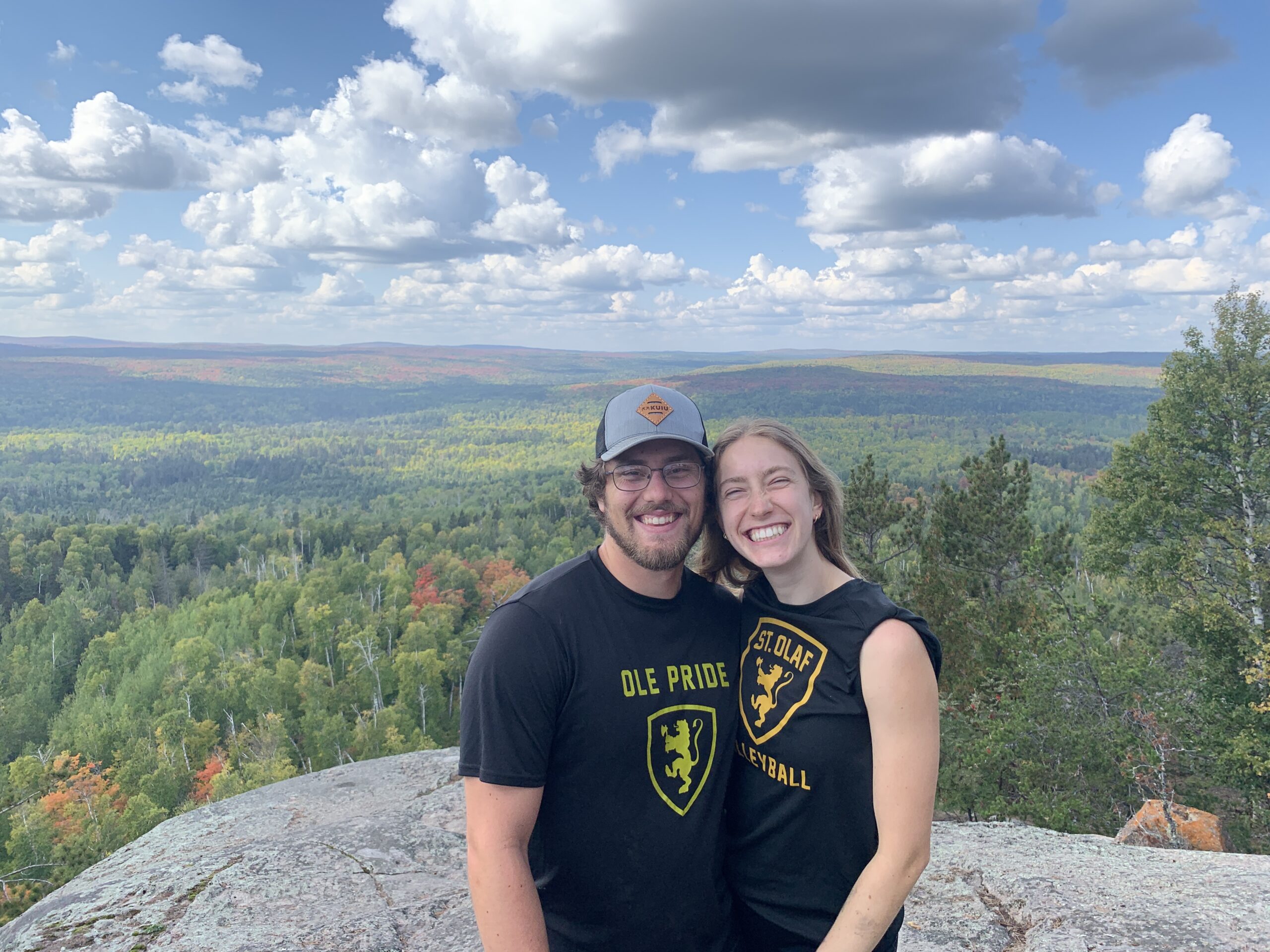
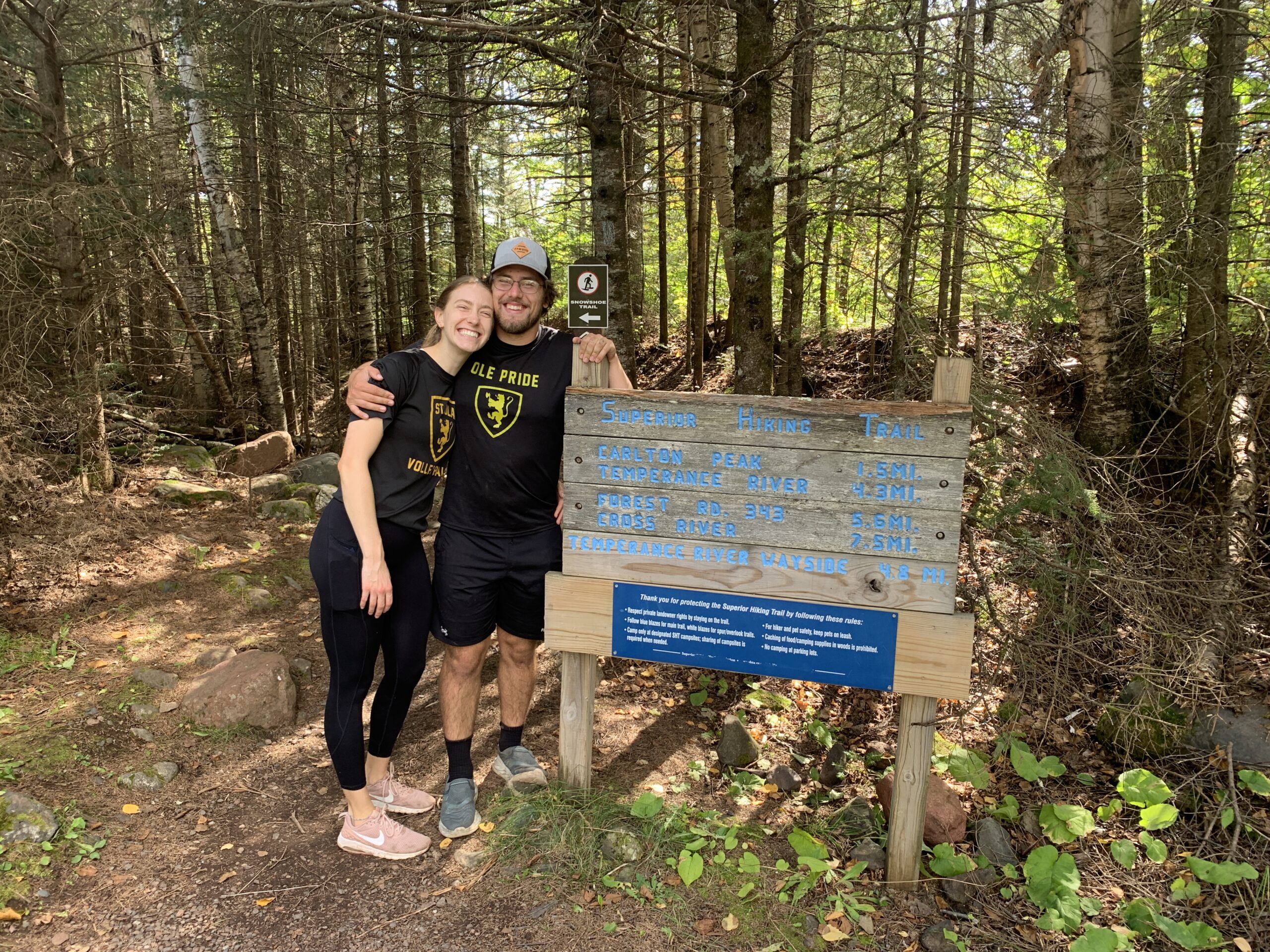
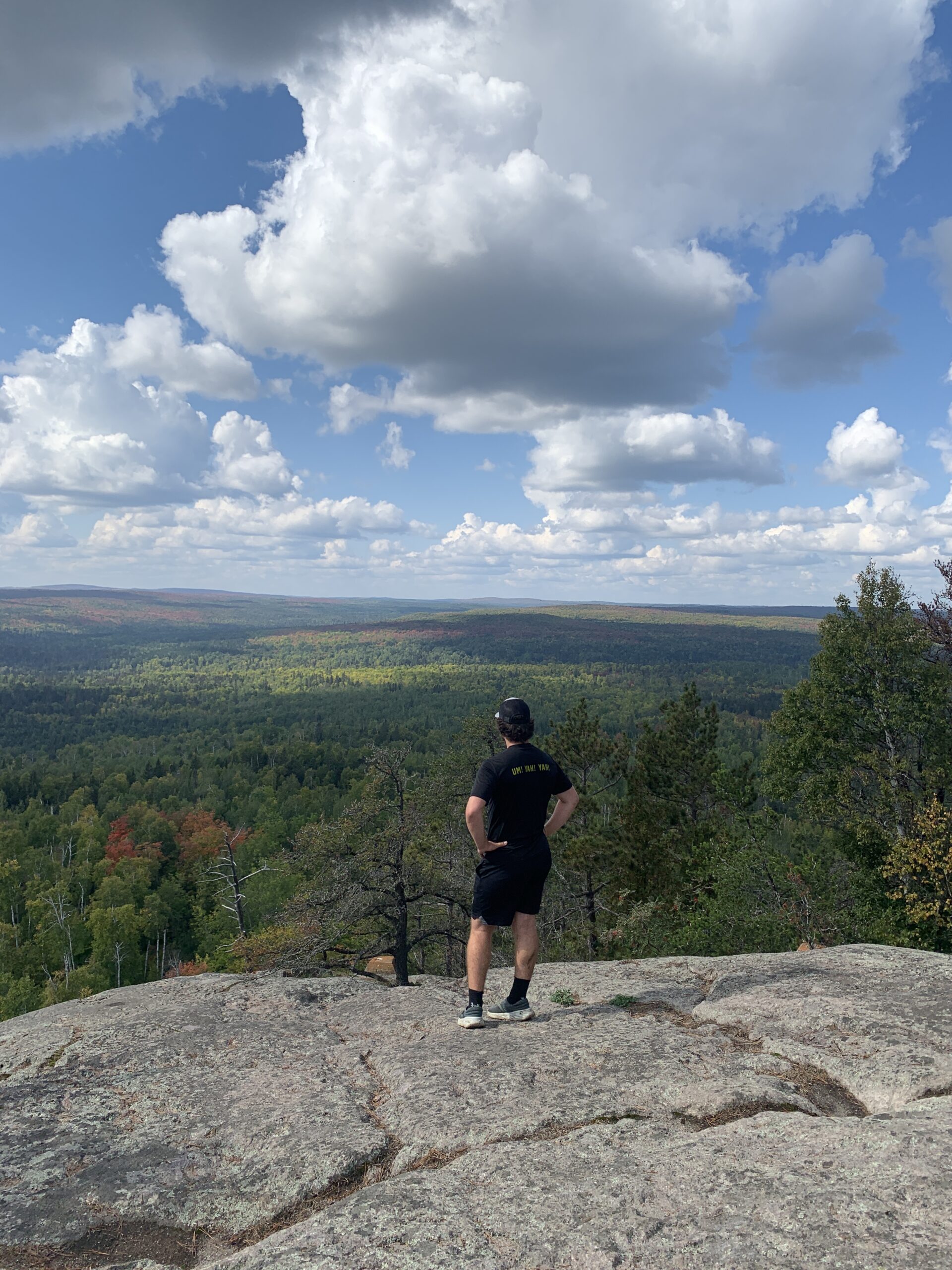
Britton Peak Trailhead also accesses two hiking trails and a great single trek mountain biking area. This parking area is accessed via the Sawbill Trail in Tofte. The trail to Britton Peak is just a 1/4 of a mile that leads uphill to an overlook right from the parking lot. Carlton Peak crosses the Sawbill Trail and then continues through the forest up to Carlton Peak at 1526 feet. The peak is named after Reuben Carlton who guided surveyors in 1848 and the craggy top of the peak was used by fishermen for navigating on Lake Superior. It’s a 3 mile round trip trek through the woods with a steep ascent at the peak. If you’re lucky you’ll see some rock climbers enjoying their sport. The colors were far from peak the day we hiked but when you’re young and in love there isn’t anything more beautiful.
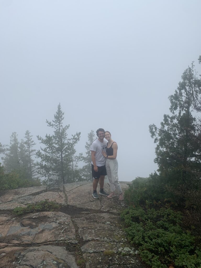
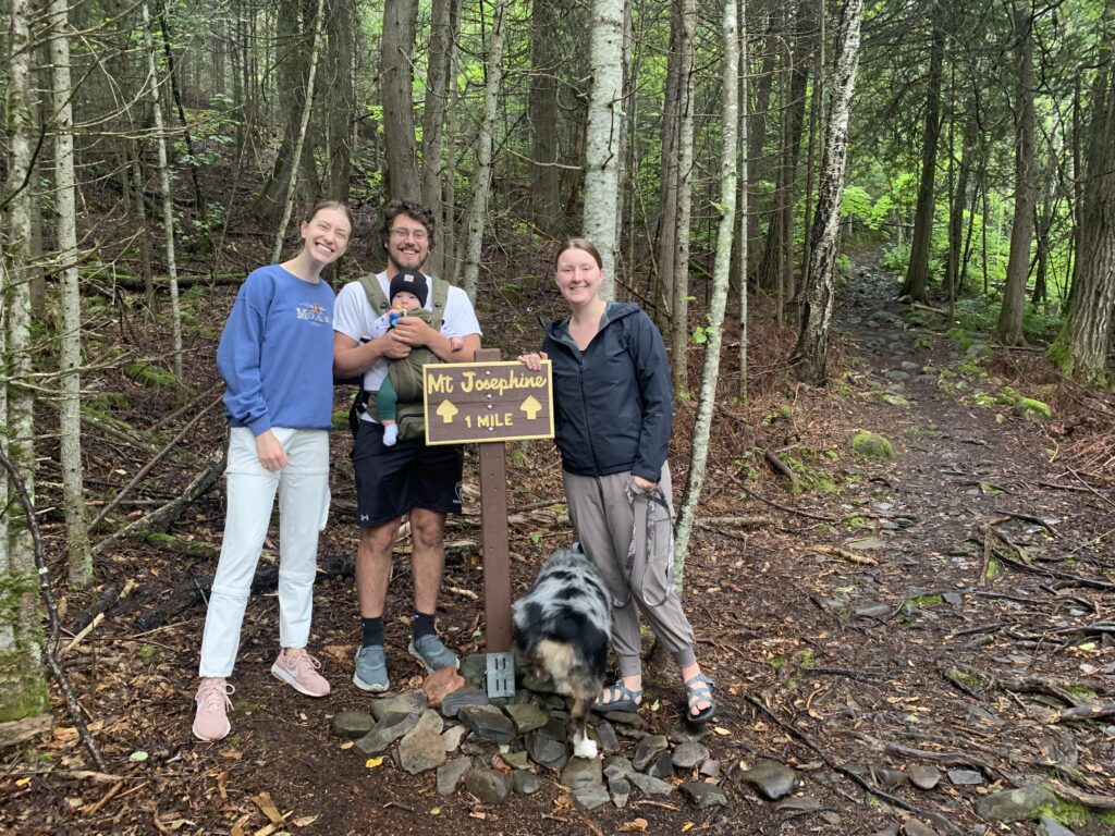
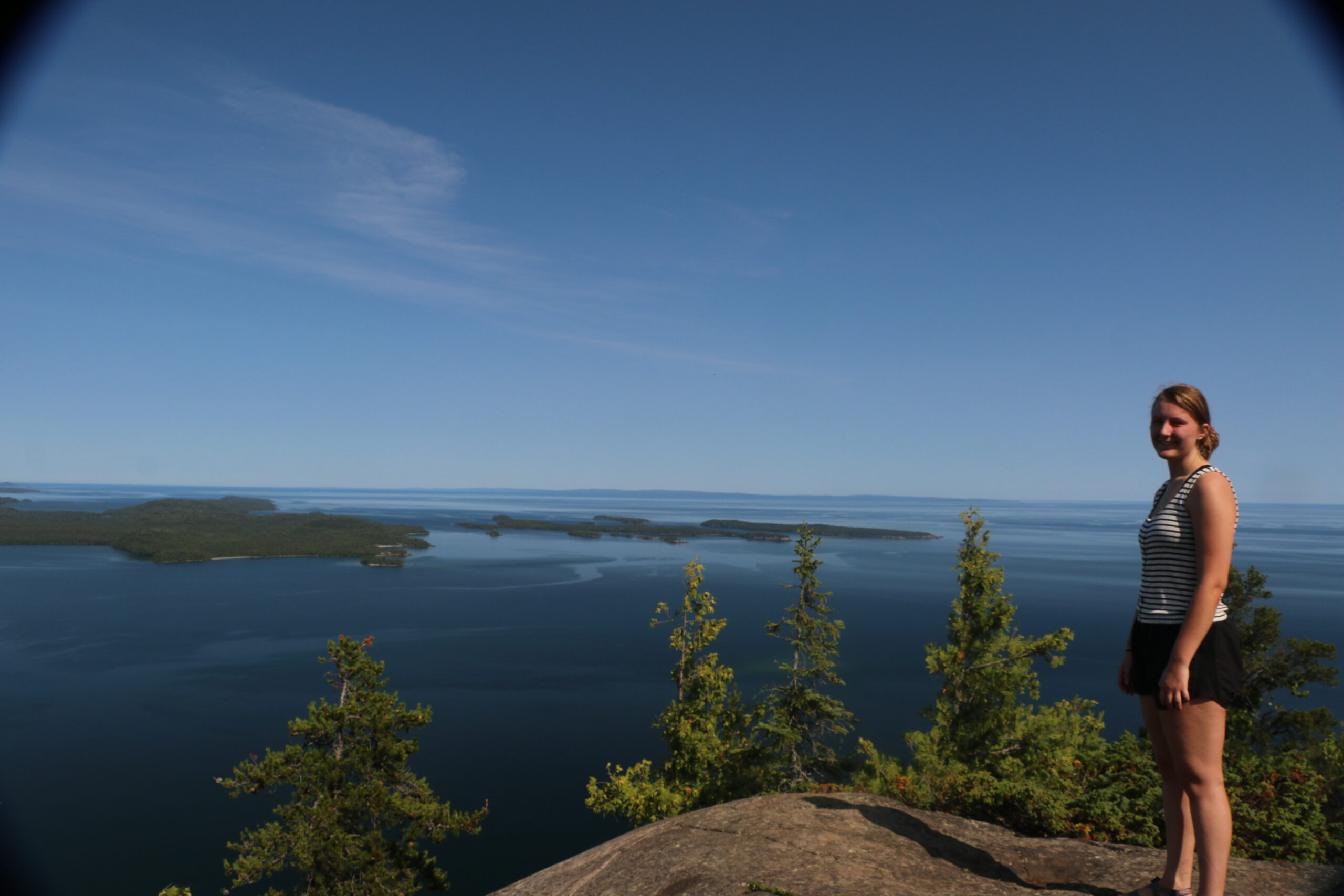
What are the risks of hiking to see the fall colors on the North Shore? A person could sprain an ankle but even worse than that is when the fog decides to roll in off of Lake Superior and obscure your view completely. This happened to us on the day we decided to hike Mount Josephine in Grand Portage. I included a photo from a day when the view wasn’t fogged in.
The trail is 2.6 miles round trip but it is quite steep as it climbs up to 1300 feet. There are the remains of old vehicles in the woods along the lower trail and at the top there are remnants of a fire lookout tower. The views of the Susie Islands and Pigeon Point from the top of Mount Josephine are breathtaking and on a clear day you can see Isle Royale National Park over 30 miles away in Lake Superior. You can also see the Canadian Border in the distance! The trail itself is super easy to follow but I almost always drive past the trailhead parking lot.
To find the trailhead travel Highway 61 towards Canada from Grand Marais for about 35 miles. Take a right off of Highway 61 at the main turn-off for Grand Portage where the gas station and casino are located. Just past the gas station turn left onto County Road 17/Mill Creek Road. You will drive past the Grand Portage National Monument and keep left to stay on County Road 17/Upper Road where you will pass the church, ball field and community center. In less than a mile, just past the sewage holding ponds you’ll see fire numbers 183 and 193 on your left, this is the trailhead! If you see an open marshy area on your left you went too far, turn around and turn right into the parking area.
A favorite trail of folks who live in Grand Marais is the almost 4 miles round trip hike to Pincushion Mountain. This trail is accessed via the parking lot at the Pincushion Mountain overlook just a couple of miles up the Gunflint Trail. There are a number of trails for cross-country skiing and mountain biking but the hiking trail is well marked and easy to follow. It follows the Superior Hiking Trail through the woods, across boardwalks and then leaves the SHT to the bald rock of Pincushion Mountain. The peak offers vistas of Lake Superior, the Devil Track River Valley, hills on the Gunflint Trail and farmland down below.
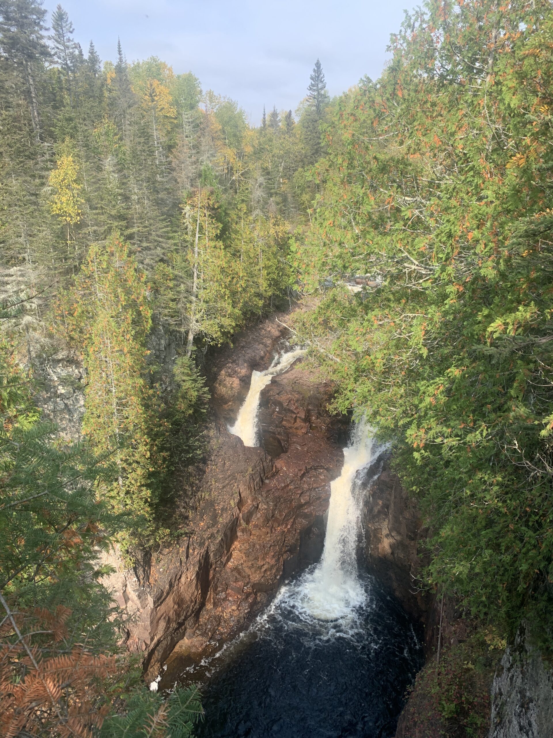
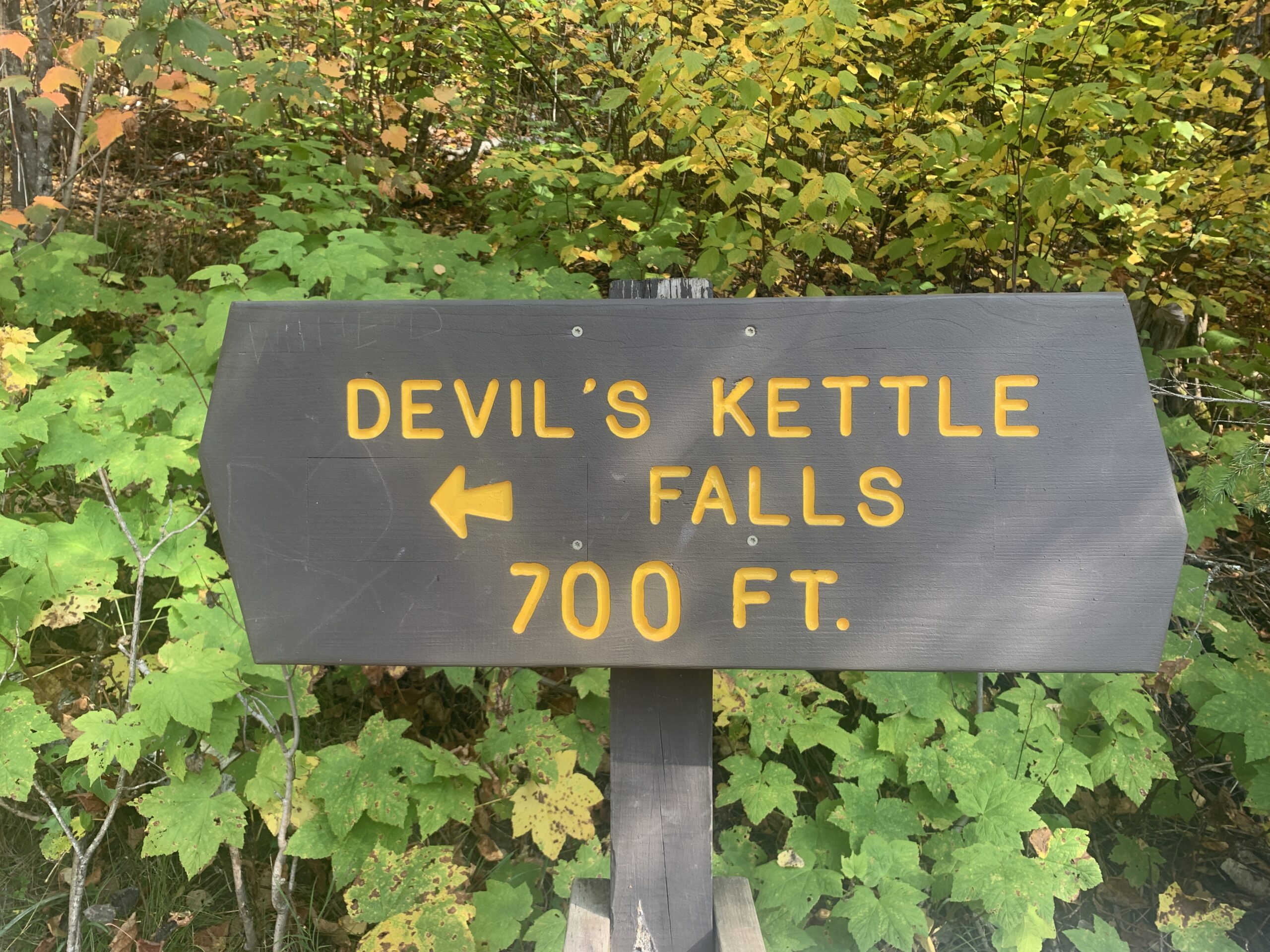
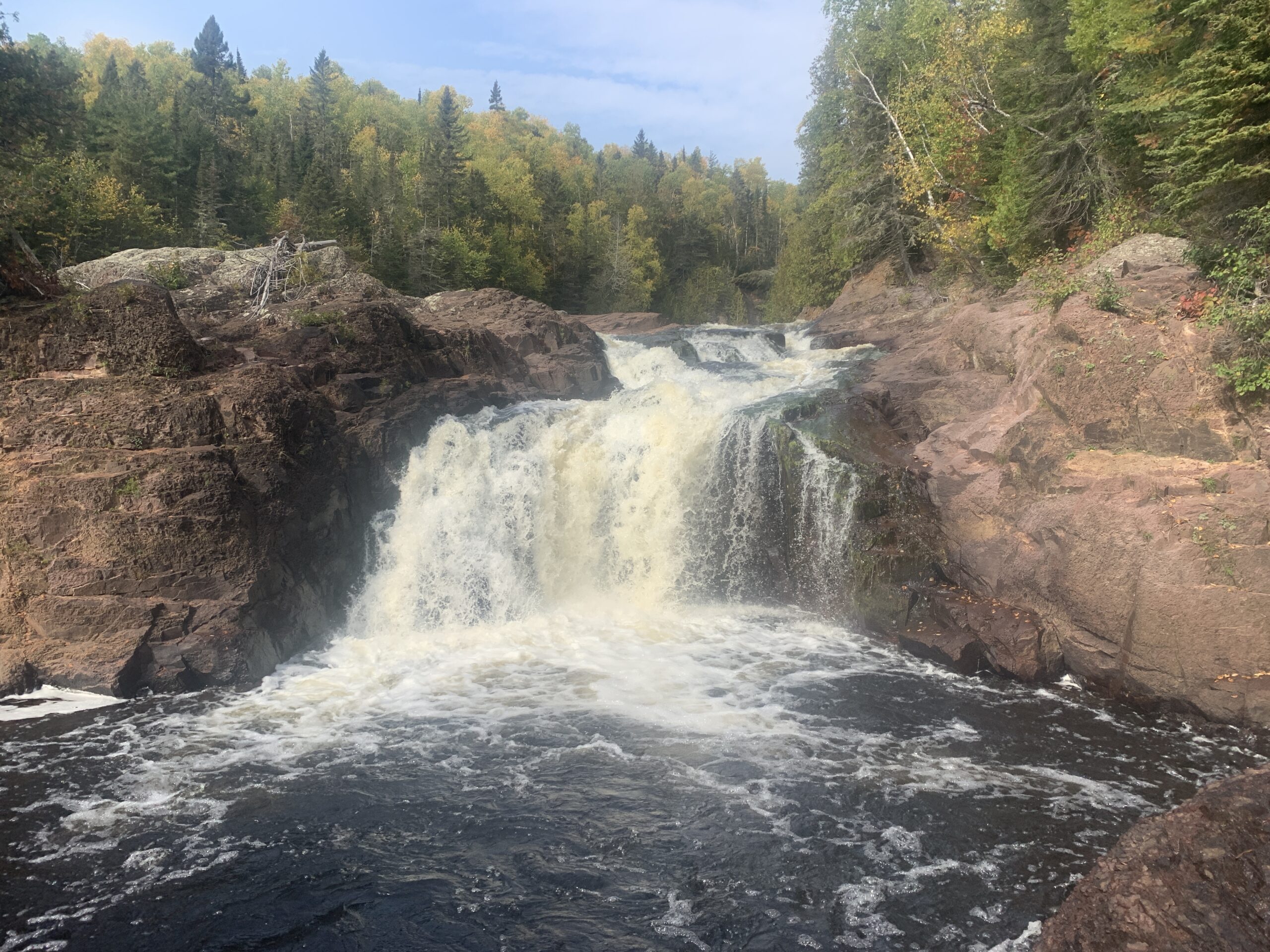
What else did I hike in September? The Devil’s Kettle trail in Judge C.R.Magney State Park. The campground has a few shorter trails but the Devil’s Kettle is the most hiked in the park. The 2 mile round trip trail follows the Brule River and has a staircase with 175-200 steps, I always lose track counting. The mile in to the falls is a gradual uphill climb with the exception of the stairs down to the waterfalls. Taking the stairs back up will get your heart pumping but after that it’s a relatively easy mile back to the parking lot. To get to the trailhead travel Highway 61 towards Canada for about 14 miles and watch for the sign on the left hand side of the road.
No matter what the color of the leaves or the time of the year there isn’t anything better than getting out on the trails and experiencing the great outdoors.